
PARIS ROAD MAP ATLAS: The Ultimate Navigation Guide to Paris: Explore Every Corner of the City of Light by Car, Bike, or on Foot with Detailed Street Maps and Local Routes
PARIS ROAD MAP ATLAS: The Ultimate Navigation Guide to Paris: Explore Every Corner of the City of Light by Car, Bike, or on Foot with Detailed Street Maps and Local Routes

Precio total más barato
En stock. Envío exprés disponible con Amazon Premium.
Domiciliación bancaria
Domiciliación bancaria
Visa
Visa
Mastercard
Mastercard
11,88 €
Envío a partir de 0,99 €
PARIS ROAD MAP ATLAS: The Ultimate Navigation Guide to Paris: Explore Every Corner of the City of Light by Car, Bike, or on Foot with Detailed Street Maps and Local Routes

Envío en 4 a 5 días
Domiciliación bancaria
Domiciliación bancaria
Visa
Visa
Mastercard
Mastercard
44,99 €
sin gastos de envío
🤖 Pregunta a ChatGPT
💡 ¿Vale la pena el precio?
🔁 ¿Hay alternativas mejores?
⭐ ¿Qué opinan los usuarios?
PARIS ROAD MAP ATLAS: The Ultimate Navigation Guide to Paris: Explore Every Corner of the City of Light by Car, Bike, or on Foot with Detailed Street Maps and Local Routes - Detalles
▶ ¡Encuentra siempre el precio más barato!
Para PARIS ROAD MAP ATLAS: The Ultimate Navigation Guide to Paris: Explore Every Corner of the City of Light by Car, Bike, or on Foot with Detailed Street Maps and Local Routes hemos encontrado las siguientes ofertas: 2. Te ofrecemos una lista de precios clara y ordenada por precio ascendente. Es posible que se apliquen gastos de envío adicionales.
PARIS ROAD MAP ATLAS: The Ultimate Navigation Guide to Paris: Explore Every Corner of the City of Light by Car, Bike, or on Foot with Detailed Street Maps and Local Routes - Información sobre el precio
- Precio más barato: 11,88 €
- El precio más barato lo ofrece amazon.es . Puedes formalizar la compra desde allí.
- Con un total de 2 ofertas, la horquilla de precios para PARIS ROAD MAP ATLAS: The Ultimate Navigation Guide to Paris: Explore Every Corner of the City of Light by Car, Bike, or on Foot with Detailed Street Maps and Local Routes oscila entre 11,88 € € y 44,99 € €.
- Métodos de pago amazon.es acepta pagos mediante Domiciliación bancaria, Visa, Mastercard
- Envío: el plazo de entrega más corto es de entre En stock. Envío exprés disponible con Amazon Premium. días hábiles a través de amazon.es .
Productos similares
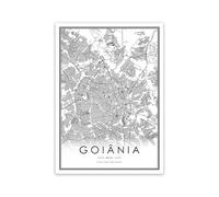
WSJIJY Impresión De La Lona Brazil Sao Paulo City Road Map Posters and Prints Black White Minimalist Wall Art Canvas Painting Modern Office Decor 30X45Cm No Frame
18,60 €
Amazon Marketplace (ES)
Envío a partir de 10,00 €

19,26 €
amazon.es
sin gastos de envío
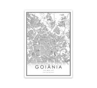
WSJIJY Impresión De La Lona Brazil Sao Paulo City Road Map Posters and Prints Black White Minimalist Wall Art Canvas Painting Modern Office Decor 60X90Cm No Frame
30,60 €
Amazon Marketplace (ES)
Envío a partir de 10,00 €
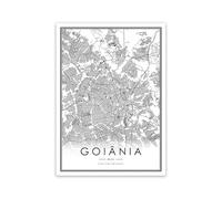
WSJIJY Impresión De La Lona Brazil Sao Paulo City Road Map Posters and Prints Black White Minimalist Wall Art Canvas Painting Modern Office Decor 70X100Cm No Frame
35,60 €
Amazon Marketplace (ES)
Envío a partir de 10,00 €

WSJIJY Impresión De La Lona Brazil Sao Paulo City Road Map Posters and Prints Black White Minimalist Wall Art Canvas Painting Modern Office Decor 45X60Cm No Frame
23,60 €
Amazon Marketplace (ES)
Envío a partir de 10,00 €
No olvides tu cupón descuento:
Denunciar infracción
Está a punto de denunciar una infracción legal en base a la Ley de Servicios Digitales de la UE.